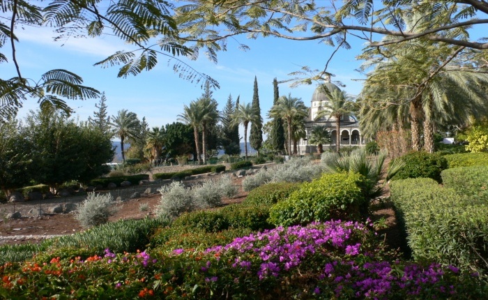
Our first stop was at the Church of the Beatitudes overlooking the Sea of Galilee. The church is not very old, and simple. It was not very crowded with tourists, so made a good place for devotions.
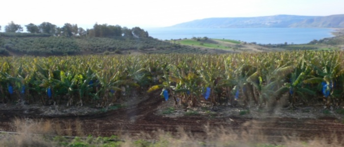
Everywhere, it seemed, were banana fields. The plastic bags protect the young fruit. We saw lots of plastic used in agriculture, including lots of greenhouses and covers.
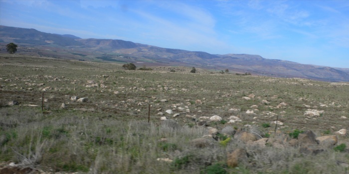
The fields around the Golan Heights seemed to be covered in small rocks. It is hard to believe these fields can be ever be productive, other than for grazing.
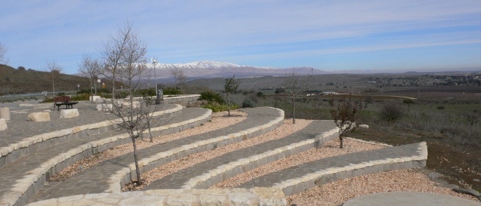
The most northern place we could visit (Lebanon was acting hostile, so we could not go to Banias a few miles further north) was overlooking the Syrian border, south of snow-covered Mt. Herman.
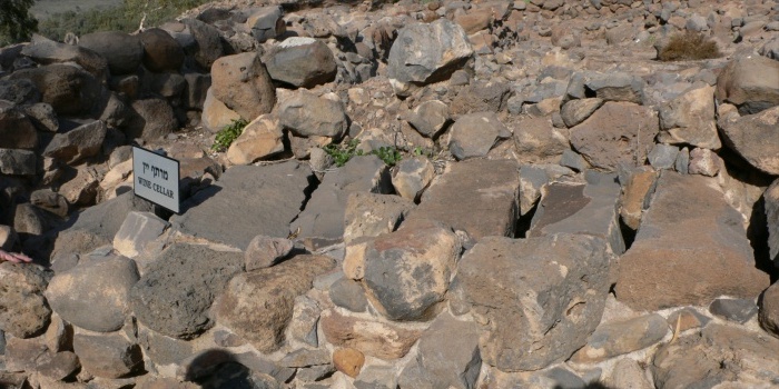
We visited some rather crude ruins of Bethsaida. The wine cellar was covered with large stones that act as a cold storage. Pastor Bohdan worked on this excavation one summer a few years ago.
Korazim, also just north of the Sea of Galilee, was a bit more extensive. (Ron, Kent, Sharon, Diane, Tim, Shirley, Linda, Linda, Bohdan, Denis, Pam, Erika)
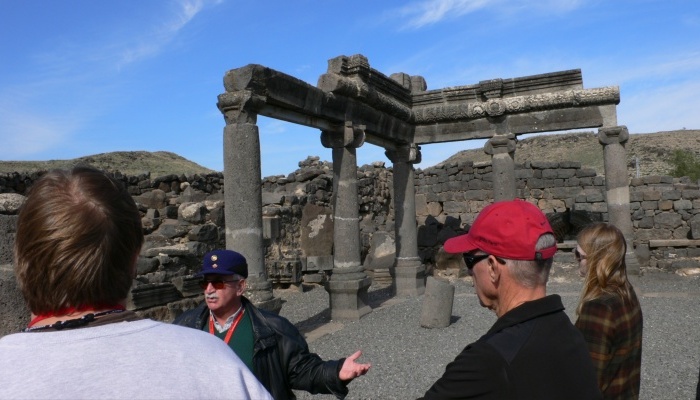
Our Israeli guide was one of the best tour guides we have had, here explaining more about Korazim, which substituted for Banias. Local basalt was the building material.
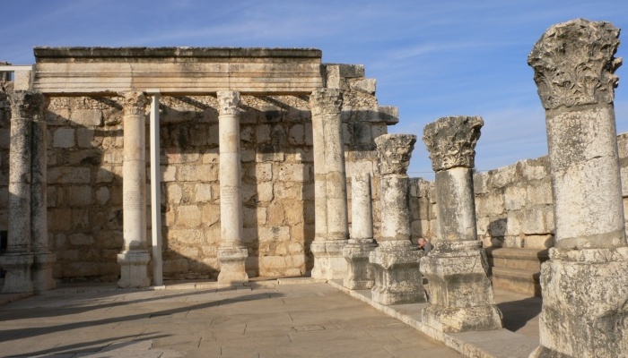
Capernaum was once inhabited by a wealthier population, as evidenced by the white marble, which had to be imported.
Our tour boat docked just north of Tiberias. The tour included an hour on the Sea of Galilee. The seas were rough enough that we had to return here at the conclusion.
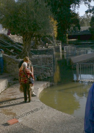
Pastor Bohdan commemorated our baptisms with a few private moments at the River Jordan.
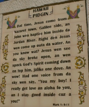
The commercial baptismal site was decorated with plaques in many languages, including this rather humorous version in Pidgin.
Every morning, Pastor Bohdan started the tour with a description of our daily agenda.
Our driver, Ahmed, was amazingly skilled at getting our bus around some rather tight obstacles. He lived in Israel, but not in Jerusalem.
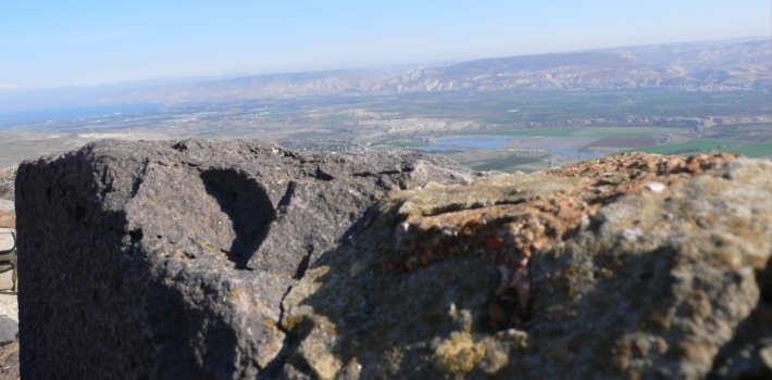
The view from Belvoir at the southern tip of the Sea of Galilee showed lots more agriculture.
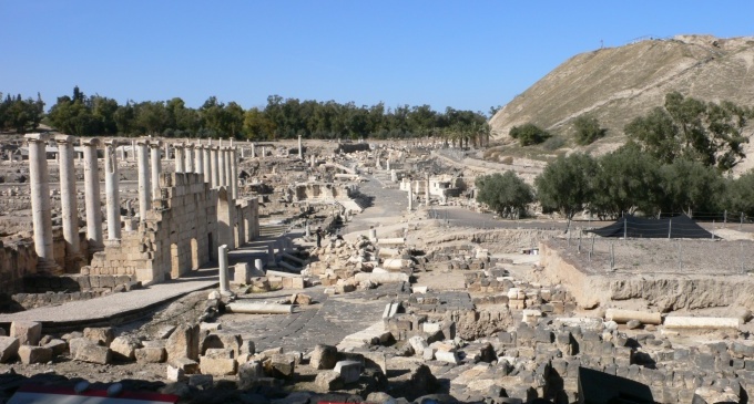
Bet She'an, a little further south, was one of the most impressive Roman-era sites we saw.
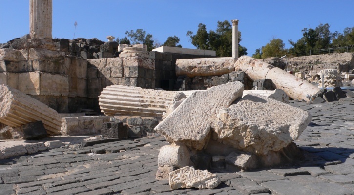
Some large pillars in Bet She'an were toppled during an earthquake in 749AD.
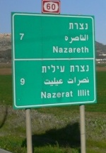
It seemed strange that the distance markers preceded the town names on the highway signs, until I recalled that Hebrew and Arabic are read from right to left!
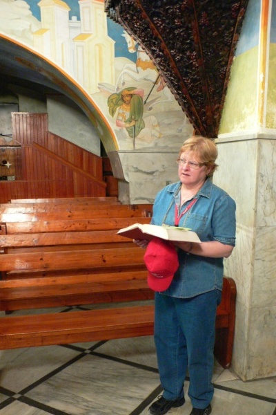
Carol did a scripture reading in a church in Nazareth.
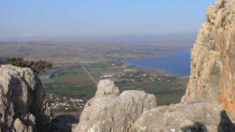
The top of Mt. Arbel overlooks the shores of the Sea of Galilee. During devotions, some of us heard an explosion a few miles away, and saw a plume of smoke that looked suspiciously like a mortar. Further research, however, indicated that it was either an explosion at a small quarry, or a training round on a closed IDF base. We were never in danger!

Sunrise over the Sea of Galilee from our hotel room presented nice colors.
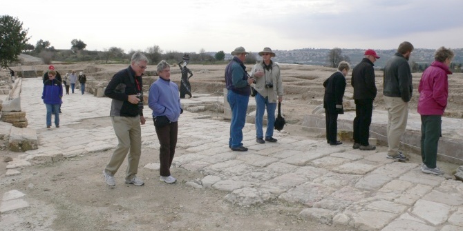
We visited Zippori, instead of Caesarea, when one of our group fell ill and had to spend the morning in a hospital in Tiberias.
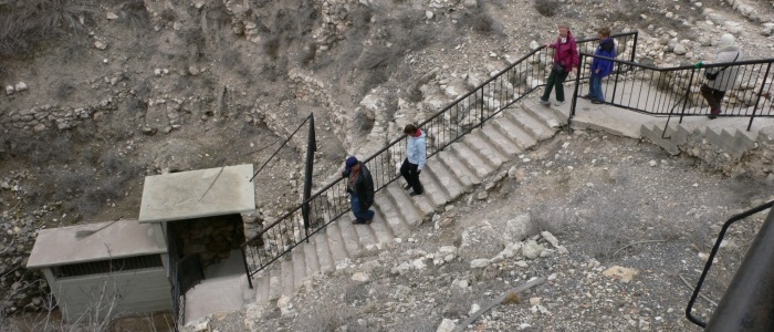
The water tunnel at Megiddo was described by Michener in "The Source".
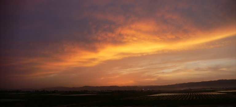
Leaving northern Israel, a colorful sunset over Jericho, before ascending to Jerusalem.
